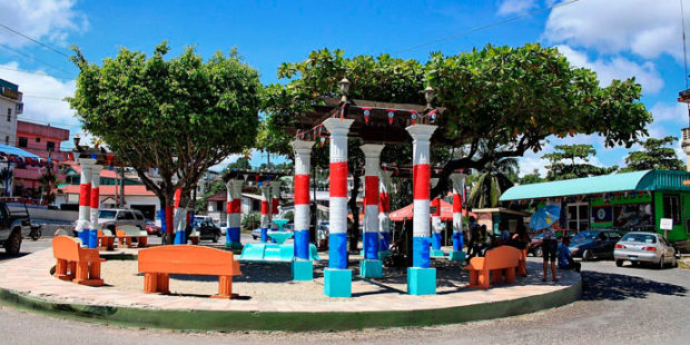
Some about San Ignacio, Belize…

From Wikipedia…
San Ignacio and Santa Elena are towns in western Belize. San Ignacio serves as the cultural-economic hub of Cayo District. It got its start from Mahogany and chicle production during British colonialism. Over time it attracted people from the surrounding areas, which led to the diverse population of the town today. San Ignacio is the largest settlement in Cayo District and the second largest in the country, after Belize City.
The town was originally named El Cayo by the Spanish. On October 19, 1904, El Cayo was officially declared a town by the government of British Honduras. In the past a creek ran between the Macal and the Mopan rivers one mile outside of San Ignacio going toward Benque Viejo. This creek then fulfilled the definition of an area of land completely surrounded by water and thus the name Cayo, “island”. There was a large wooden bridge across this creek in the late 1940s, but since the creek eventually dried up, the area was filled with limestone gravel and today there remains no evidence of its existence. The demise of the creek, however, took away the distinction for the classification of a ‘cayo’ from the venerable western town of ‘El Cayo’ and returned it to a regular land mass.
San Ignacio is situated on the banks of the Macal River, about 63 miles (101 km) west of Belize City and 22 miles (35 km) west of the country’s capital: Belmopan. The town has an area of approximately 2.5 square miles (6.5 km2).
The area around San Ignacio is one of the most popular parts of the country for tourism. Nearby attractions include the ancient Maya ruins of Caracol, Xunantunich, Cahal Pech, and El Pilar, the Actun Tunichil Muknal cave, Chaa Creek Nature Reserve, and the Mountain Pine Ridge Forest Reserve. Barton Creek Cave is another attraction that is popular among tourists interested in cave tubing.
Visitors can tour the Mayan ruins independently by foot or by car, or by signing up for a tour with one of the many tour guide companies that serve the area.
